Modelado estructural
Andino 3D

Andino 3D is the 2D-3D structural evolution modeling software for integrating geological and geophysical data, developed and distributed by LA.TE. ANDES.

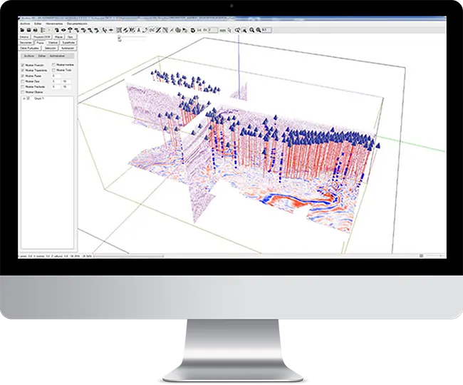
Digital topography, rasterized images, 2D and 3D seismic, well information, vectorized maps, structural information of surface and subsoil, all combined for the creation and interpretation of structural models. Transformation of seismic to depth. Construction of surfaces. Restitution tools. Structural kinematic modeling (fault-parallel-flow, incline-shear, trishear and more).


Andino 3D -Structural Modeling Software
Andino3D participants
Commercial licenses granted
+ 0
Countries with academic
and research licenses
+ 0

With Andino 3D, it's possible to

Integrate a variety of geological and geophysical data.

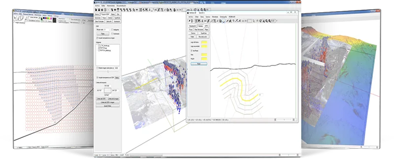
Use computer-aided drafting tools to construct balanced sections.

Synchronize the 3D and 2D views of cross-sections and maps.

Generate grids and vertical and overturned surfaces.

Andino 3D -Structural Modeling Software

Services

LA.TE. ANDES, through the Andino 3D development team, offers the following services:

This site is registered on wpml.org as a development site. Switch to a production site key to remove this banner.