logos participantes Andino3D
logo andino3D


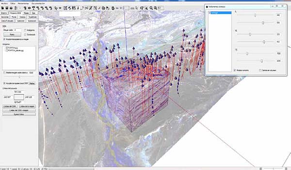
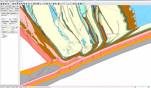
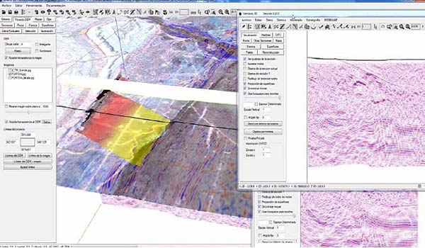
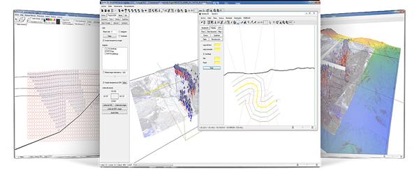
Andino 3D s the 2D-3D structural evolution modeling software for the integration of geological and geophysical information developed and distributed by LA.TE. ANDES.

Digital topography, rasterized images, 2D and 3D seismic, well information, vectorized maps, structural information of surface and subsoil, all combined for the creation and interpretation of structural models. Transformation of seismic to depth. Construction of surfaces. Restitution tools. Structural kinematic modeling (fault-parallel-flow, incline-shear, trishear and more).

logo-andino3D

Andino 3D es el software de modelado de evolución estructural 2D-3D para la integración de información geológica y geofísica desarrollado y distribuido por LA.TE. ANDES.

Topografías digitales, imágenes rasterizadas, sísmica 2D y 3D, información de pozos, mapas vectorizados, información estructural de superficie y subsuelo combinados para la creación e interpretación de modelos estructurales. Transformación de sísmica a profundidad. Construcción de superficies. Herramientas de restitución. Modelado cinemático estructural (fault-parallel-flow, incline-shear, trishear y más).

Integration of varied geological and geophysical information.

Synchronization of sections and maps 3D and 2D visualizations.

Aided design tools for balanced sections construction.

Generation of grids and vertical and overturned surfaces.

LA.TE. ANDES, through the development team of Andino 3D, offers services of:
  • Training courses on Andino3D.

  • Advanced structural geology courses.

  • Design of customized computational tools for integration in Andino3D.

  • Structural modeling of deposits.

  • Construction of balanced sections.

  • Loading of complete projects in Andino 3D (including seismic, wells, surface data, maps and more).

keyboard_arrow_up